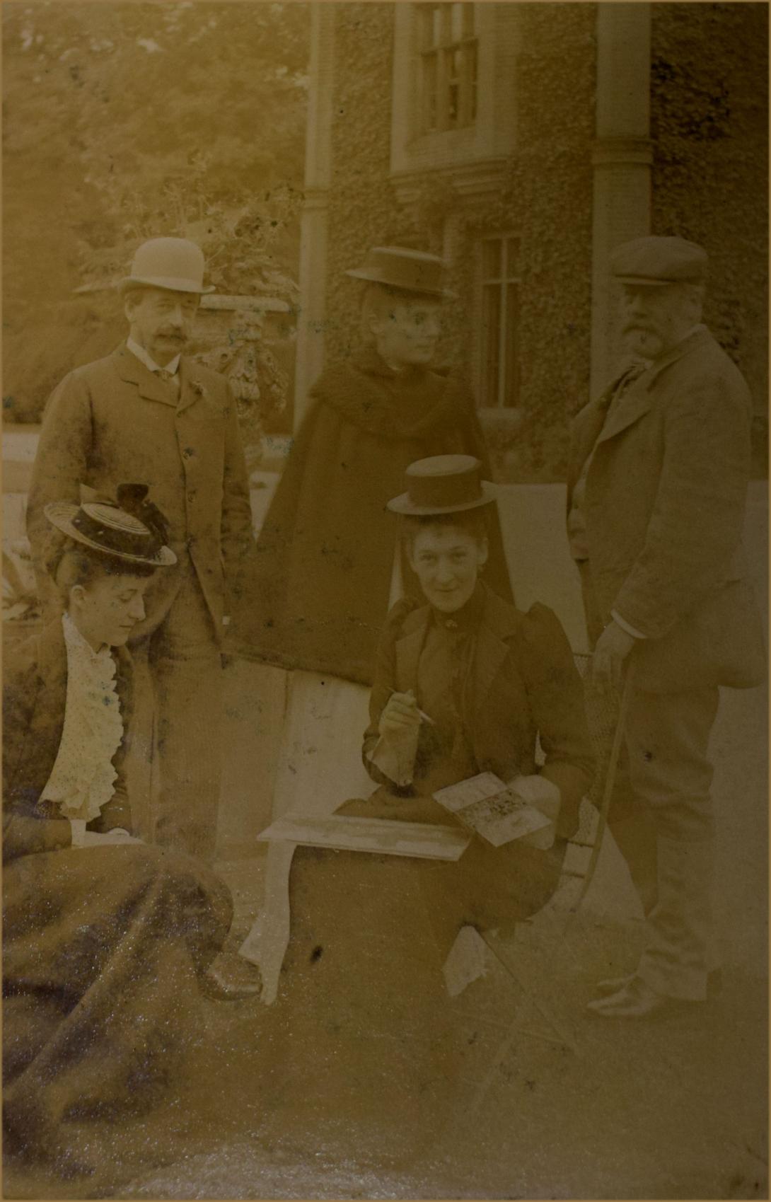
The photograph is signed in the margin with the following signatures " C,A Sulivan, Augustsu H Have, Wiliam Lowther, Alice Lowther, Alfred J Mulholland, Mary Lowther, H L A Jenkinson, Charles Drummond, Mabel Mulholland, mabel C Lowther Mary Lowther Nila Head Marie Van Bunsen, G Bunsen".
Ashe High House was the home from 1652 to 1882 of the Sheppard family, part of the house damaged by fire in 1865 being rebuilt in congruent style by the architect Anthony Salvin. In 1882 house and estate were sold to the diplomat William Lowther, for a time MP for Westmorland. At its next sale, in 1949, Ashe High House was described as having 31 bedrooms and dressing rooms, 6 bathrooms, 6 reception rooms and a library. The estate in 1882 amounted to 4,100 acres, 144 acres of deer and home parks and 240 acres of woods and plantations, with 13 farms. The new owners were residents of Campsea Ashe for the next 66 years. The property passed in 1912 to Lowther’s son, James, Speaker of the House of Commons from 1905 until 1921, created subsequently Viscount Ullswater of Campsea Ashe. He died at the High House in March 1949, aged 94. After repeated sales following the Second World War, Ashe High House fell into ruin and only the foundations now survive.
The construction of High House at Campsey is said to have been started in 1558 by John Glover, servant to Thomas Howard, third Duke of Norfolk, and finished in 1600 by his son William Glover I (DVPN). The Glovers sold the estate to the Sheppeard Family in 1648 in whose hands it remained until 1883. The layout of the formal gardens, including the surviving canals, yew hedges and yew-encircled bowling green, together with the two main avenues radiating from the House across the park, date from the C17, being the work of either the Glovers or John Sheppeard I. John Sheppeard III (1706-42) is attributed with making alterations and improvements to the canals and the gardens (DVPN). The park is first shown on Bowen's map of the county in c 1750 and in greater detail on the 1839 Tithe map; both show it extending mainly to the north of the House. In 1865 High House was destroyed by a fire and John Sheppeard VI commissioned Anthony Salvin (1799-1881) to rebuild it. On Sheppeard's death in 1883 the estate was sold to the Hon William Lowther who extended the park to the east. His son, the Viscount Ullswater (Speaker of the House of Commons), added numerous Edwardian features to the gardens in the form of a sunk rose garden, a Japanese garden and a rock garden, all within the C17 framework. Lord Ullswater died in 1949 and his trustees sold parts of the estate, including the House with its grounds which were purchased by Lady Delaney. The park remained in the hands of Ullswater's nephew Arthur Lowther. Lady Delaney died almost immediately and the House and grounds were sold to a developer who turned the coach house, stables and squash court into housing. High House fell into a ruinous state and the gardens were divided. The House and its immediate surroundings were bought in 1952 by Richard Schreiber who demolished the remains and extended the squash court to become Campsea Ashe House. Part of the walled and ornamental gardens together with the Gardener's Cottage were sold separately and the registered site remains (1998) in divided private ownership.
DESCRIPTION
LOCATION, AREA, BOUNDARIES, LANDFORM, SETTING Campsea Ashe Park lies to the east of the village of Campsey Ashe on the edge of the Suffolk Sandlings, c 8km north-east of Woodbridge. Its north and east boundaries are formed by Station Road and the B1078 Campsey Ashe to Tunstall Road. The west boundary is marked by a minor country road and the south by farmland. Woodland belts enclose the park to the east and partly to the north. The south boundary is composed of the ornamental Rackham's Grove which extends c 200m east from the garden before joining The Jungle, a broadleaf shelterbelt which forms the rest of the boundary. A high brick wall and garden trees enclose the southern end of the western boundary whilst at the northern end the park is partly screened by a block of woodland known as Allen's Covert. The park is set in a rural, agricultural landscape with a mainly flat topography in the south and gently undulating ground in the north. Views from the house platform, which sits on the edge of the flat land, run north along a double lime avenue and east across the park and adjoining farmland along a vista known as The Lights.
ENTRANCES AND APPROACHES The main approach is from the country road on the west boundary through a new (late C20) unmarked entrance and drive to the stable block. An earlier (C19) drive with lodge north of this entrance formerly ran through the park but has now been grassed. The vestiges of a row of horse chestnut which lined this drive remain in the park. From the east boundary on the B1078 a further drive (C19 or earlier) has also been lost and the accompanying lodge demolished. These old west and east drives converged at the southern end of the existing lime avenue to run south up to the house site, sweeping west to the main front and east through the arched coach house (arch now closed up). A gateway survives in the garden wall to the west of the bowling green, marking the position of the C17 main entrance to the site.
PRINCIPAL BUILDING High House was demolished in 1955, leaving only a C19 coach house and stable block and a separate squash court added by Lord Ullswater in the early C20, all subsequently converted to private dwellings. The house platform is defined by a turf plot with earthwork remains and a set of steps in the lawn. A house had stood in this position since the mid C16, receiving regular refurbishment and remodelling before being redesigned and rebuilt by the architect Anthony Salvin in 1883.
GARDENS AND PLEASURE GROUNDS The gardens cover c 5ha and lie to the south and west of the house platform. To the west is a string of individual garden areas running south just inside the western boundary wall. Approximately 100m to the north-west of the house site lie the remains of an early C20 rock garden amongst the mixed ornamental tree and shrub planting created by Lord Ullswater. Immediately to the south of this is a second garden area of the same date, known as the Japanese Garden, which contains remnants of the Japanese style in the form of shrubs such as acers surrounding a central lawn adorned with a rustic summerhouse on its eastern edge. Immediately to the south of this lies the bowling green situated on what would have been the west axis of the house. It is an area of lawn completely surrounded by massive clipped and irregularly shaped yews, thought to be survivors from the C17 formal garden (Williamson). Immediately south again is a sunken rose garden with central pool, another early C20 feature by Lord Ullswater. The south lawn beside the house platform is graced by several very large cedars, planted in the early years of the C18 (ring count of stump in 1993). The eastern boundary of the gardens is marked by the 170m Long Canal, along the east bank of which runs a terraced walk backed by a massive yew hedge and a ha-ha to the park immediately to the east of the house site. The Canal is of C17 origin although its present structure suggests several phases of refurbishment (ibid). The western boundary is defined by a parallel canal of the same period, now in two sections and crossed by a bridge. The small canal is edged by trees to the west, within which stands a brick icehouse of unknown date, with a yew hedge boundary on the east bank. To the south it terminates at the Gardener's (or Garden) Cottage. Between the parallel canals and to the south of the cedar lawn is the walled kitchen garden and south of this, in the grounds of the Gardener's Cottage, are two further early C20 features: the Yew Colonnade or 'Speaker's Corner' consisting of a row of mature, clipped yews joined into rough arches; and the Stone or Italian Garden 20m to the east, which today (1998) comprises a circle of yew trees around a grass lawn with a stone statue in the centre, the radiating paths from this to each tree having been lost.
PARK Campsea Ashe Park can be divided into two sections: the north park and the east park. In total it covers c 56ha with c 32ha of the north park remaining under pasture, the rest being arable. The north-west corner has a dense woodland plantation known as Allen's Covert beside arable land with occasional oak, lime, pine and one cedar remaining. Closer to the house site the pasture has been retained and the trees here include some very old oak pollards and the remains of the horse chestnuts which lined the old west drive. The north-east corner is rolling pasture with clumps and individual trees, mainly oak with occasional holm oak, plane and cedar. The most striking feature of the north park is the double lime avenue which runs north from the house site to the northern boundary. Whilst the present trees are mainly C19, some are of an earlier age and this feature, along with the rest of the north park, is shown on Hodskinson's map of 1783. It is thought that the avenue at least may be of earlier (C17) origin (ibid). The east park is under arable with fewer trees, mainly oak with two blocks of beech. Up to the time of the Tithe map of 1839 this area was divided, although tree clumps shown amongst the fields are possibly a sign of ornamentation. The boundaries were removed in the late C19 when the park was enlarged. Running east out of the park is a 1.8km long vista known as The Lights, on the east/west axis of the house site. It cuts through woodland and farmland and was originally defined by a row of elm to the north and Rackham's Grove and The Jungle to the south. A possible rondpoint exists where the vista leaves the park and crosses the B1078 and the feature eventually terminates in Light Grove. The Lights is an early feature of the C17 garden, having been painted by Peter Tillemans sometime during the late C17 or early C18 (private collection). The southern boundary of the park is marked by Rackham's Grove, a mid C19 mixed ornamental woodland linked by a path to the gardens.
Note: The articles by P F Springlett in Garden History (1975) refer to a complex of radiating C17 avenues; because there are few primary references the articles have not been drawn upon or referenced in this description.
KITCHEN GARDEN The walled kitchen garden covers c 1ha and lies to the south of the cedar lawn. It is enclosed on all sides by red-brick walls of differing heights and ages although the whole is thought to have C17 origins. The west wall appears to be C17, whilst that to the north is late C18 or early C19 and has a central pair of wrought-iron gates. The east wall is of C18 construction and the lower south wall of C19 construction. Inside are the remains of glasshouses and hot beds along the north and east walls. The garden is divided by a gravel path and used for fruit and vegetable production. Some old espaliers remain. Beyond the west wall is a further grassed lawn bordered to the west by the yew hedge alongside the small canal. Beyond the east wall, Long Canal and yew hedge lies an area formerly used as an orchard. The walled garden was highly praised in the sale particulars of 1883, being treated as a highly ornamental part of the garden, filled with herbaceous borders, trained fruit trees and many kinds of glasshouse.
Campsea Ashe (sometimes spelt Campsey Ash) is a village in Suffolk, England located approximately 5 miles (8 km) north east of Woodbridge and 6 miles (10 km) south west of Saxmundham.The village is served by Wickham Market railway station on the Ipswich-Lowestoft East Suffolk Line.The modern village covers two medieval villages, Campesia and Esce. The former was the site of an Augustinian nunnery Campsey Priory, suppressed in 1536, of which only the Mill and Mill house still exist as Grade II* listed buildings.
The Campsea church of St John the Baptist dates from the 14th century, and survives as the local parish church. It is a grade II* listed building.
The name has long been recognized by toponymists as being of difficult etymology. Skeat, in his 1913 book on the Place-names of Suffolk, suggested that Campsey was `Kampi's island', with a Norse personal name Kampi, and Old English eg. This has not been accepted by any later scholar. Gelling, in her 1988 work Signposts to the past (pages 77–78), included Campsey in a group of names including the Old English word camp, meaning `field' but of Latin derivation and so probably associated with earlier Roman settlement. This is the etymology in the current standard place-name dictionaries. But there is still doubt, because there is no obvious island for the eg element to refer to. It is possible that the second element is not eg at all, but that the name is camp-esce, where *esce is a collective noun for a group of ash trees.[4] Historically, Campsey is the more correct spelling (despite the doubts over etymology) and was used on all Ordnance Survey maps up to the 1960s. The spelling Campsea perhaps originated in 1921 when James Lowther was created Viscount Ullswater of Campsea Ashe, where the spelling Campsea was felt to be more archaic and therefore appropriate to a heraldic name.
In the Domesday Survey of 1086, where the manor of Campesia was flourishing and covered some 200 acres, while Esca was smaller neighbouring settlement. Granted by William the Conqueror to his supporters, their holders included Alan Rufus, Lord of Richmond Robert Malet, Hervey de Berre and the Bigod family, the latter being relatives of the King.
The possession and tenancy of the lands, including the small Manor of Ashe, underwent various permutations during the succeeding centuries, by death, reversion to the crown, inheritance and marriage. For example, the once powerful Bigod family died out in 1310.Passing through the hands of the Plantagenets, Segraves and de Mowbrays, it merged into the lands of the Fitzalan and Howard clan, to become Dukes of Norfolk. It was in their possession until about 1640. It is believed that the small parcel of land in the Manor of Ashe continued to be part of the estate. The Priory, founded in 1195, ended its days abruptly in 1536 with the Dissolution and much of its lands and other property was granted to Sir William Willoughby of Parham, who had gravitated to the honeypot represented by the household set up for Henry FitzRoy, 1st Duke of Richmond and Somerset, illegitimate son of Henry VIII, who died on him in July 1536.
Elizabethan and later times The Priory property was then subject after 1536 to sale through a string of owners, including the Lane family, the Scotts and the Loudhams. Other local lands were not part of the Priory estates, but some of these were purchased by Sir William Willoughby, later Lord Willoughby, before he sold it on the owners such as the Greshams, Wentworths, Stringers and Jenneys. John Glover, purchaser of the Manor of Campsea and other local lands, lived at Ash Moorhall, the manor house, around 1558 and built a distinguished Elizabethan house on his lands, the four-storeyed Ash High House, completed by his son William around 1600. The family sold out to John Sheppard of Mendlesham, Suffolk in 1652.
The Manor of Ashe and Chantry Hall, (the manor house) were bought by the local John Brame, who also acquired the Manor of Valence, Blaxhall. The whole later passed by inheritance and sale to the Revetts.